The walk-in barn: my favorite lunch spot on my shift at Belmont.


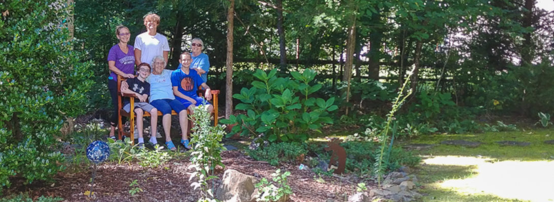
Nick’s pic of Dad on his 101st birthday.
More pics to come from Dad’s family birthday weekend. Meanwhile, following is a 1993 USGS satellite image including Dad’s 28 acres. I had been hoping to find the subsequent satellite image I remember clearly showing the X in the oats field (which here appears as a perfectly clear rectangle). The corn field and the punkin field also appear clear here. We never knew what to make of the strange spiral formation on the neighbor’s property to the right.


The old Western Maryland Railroad station at Meyersdale is now the Meyersdale Historical Society and a great rest stop for cyclists, walkers, and runners on the Great Allegheny Passage Trail. That trail (which Trudy H and I bicycled three years ago) runs 156 miles from Pittsburgh to Cumberland, where it connects to the C&O Canal trail for another 184 miles to Washington DC (I haven’t done that leg yet). Only about a mile from the Meyersdale Station is the Salisbury Viaduct, 1900 feet long, and 100 feet above the Casselman River and US Route 219. The viaduct selfie below is from April, when I had a run from Linda McD’s house a couple of miles towards Pittsburgh and back, then a couple of miles towards Cumberland and back. This view of the viaduct I snapped from the car on our Export trip in May.


Home to 50 years of Christmas Messiah concerts on Princess Anne Street, Fredericksburg, Virginia. And, from further away, the other side of the spire as seen from Chatham Manor across the Rappahannock River in Stafford County.


