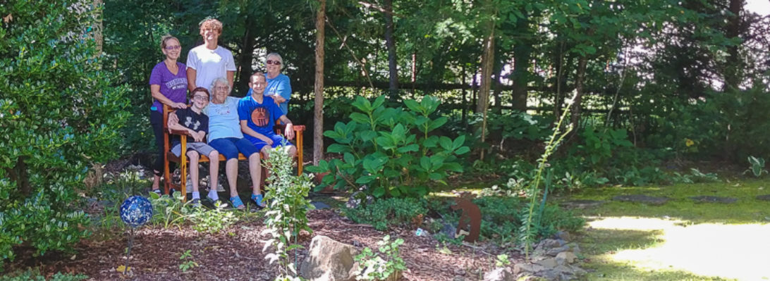
Nick’s pic of Dad on his 101st birthday.
More pics to come from Dad’s family birthday weekend. Meanwhile, following is a 1993 USGS satellite image including Dad’s 28 acres. I had been hoping to find the subsequent satellite image I remember clearly showing the X in the oats field (which here appears as a perfectly clear rectangle). The corn field and the punkin field also appear clear here. We never knew what to make of the strange spiral formation on the neighbor’s property to the right.

