Sunday May 19: Biking Pittsburgh to Cumberland in four days needed a car and driver to get to Pittsburgh, and sometimes to get from the trail to a hotel. Trudy secured chauffeur services of husband Bruce. The night before the ride began we three enjoyed visiting the Andy Warhol Museum, and walking a bridge or two for dinner at Primanti Brothers, Market Square.


Monday, Pittsburgh to Bell Vernon: Bruce delivered us to Point State Park where we got our pictures taken at mile 147, the terminus of the Great Allegheny Passage, and so began our journey.

We shared the first 20 miles with John and Julie from Cincinnati, who were doing the same trip but in three days. Day one was a 40-mile ride for Trudy and me, surprisingly green and pleasant even close to Pittsburgh. Our first stop was on the Hot Metal Bridge at mile 145. At McKeesport we left the Monongahela River and began following its tributary the Youghiogheny. We heard a lot more trains than we could see, often on the opposite side of the river. (The GAP Trail is a former rail line between Pittsburgh and Cumberland, but competing railroads always seemed to be nearby.) We ended this day’s ride with a very steep uphill mile or two to the Clarion Inn, Belle Vernon. That evening Bruce drove us to a Mexican restaurant nearby for a hearty dinner with my Dad and brother Nick.


Tuesday, Belle Vernon to Ohiopyle: A steep downhill mile got us back onto the trail near mile 107.

A break at mile 100 seemed a good photo-op, but 10 miles later I was glad to find a bike shop on the trail at Connells-ville where I could buy a bit more padding for my, er, saddle.


We found ourselves climbing a bit more after that, and through pretty country.

Ohiopyle was our end of ride this day. Bruce met us again as we arrived and drove us to the historic Summit Inn, on US 40 at the top of the mountain above Uniontown. We dined well from a more varied menu at the nearby Stone House. Back at the inn we waited on the chilly, breezy patio for the sunset, but it was too cloudy. After an hour or so reading in front of the fire in the sumptuous lobby, I returned to my room to view the lights of Uniontown.


Wednesday, Ohiopyle to Meyersdale: A good breakfast at the Summit Inn, and a lift in the car to Ohiopyle to resume our ride. No luck replacing a lost luggage rack screw — the Ohiopyle bike shop was not open even by 9:30. This day’s climb was still gentle but more than on our first two days.


Our Wednesday ride ended at the former Meyersdale railroad station, with both Bruce and Linda McD waiting for us even though we were an hour later than we’d planned. We all had a nice dinner at Cornucopia in Grantsville. Trudy and Bruce stayed at an old inn nearby, while Linda hosted me in Meyersdale.
Thursday, Meyersdale to Cumberland: Our final day. Although we had an easy, gradual uphill climb for the first ten miles, the remaining 20 were downhill and very easy.

Ready to set off from Linda’s house (cross-country through her neighbor’s backyard as she’d shown us the previous afternoon, then through a hole in the fence back onto the trail):

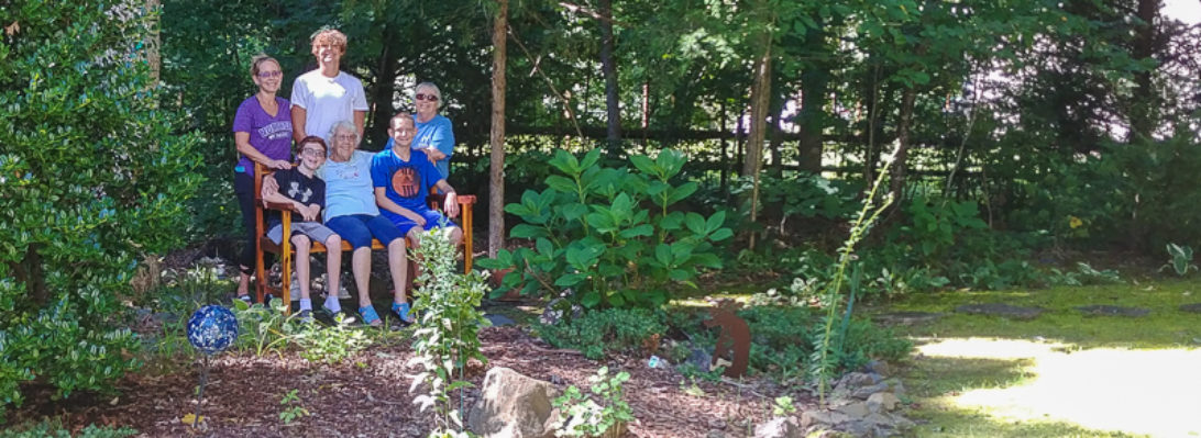
The GAP trail has occasional stopping places, often with a bench, sometimes paid for as a memorial to someone, and perhaps someone who’s done a lot of work to make or maintain part of this lovely trail. But somehow we only photographed one bench.

The literal high point this day or on any point of the GAP Trail, and recognizable on the elevation charts above and below, is the Eastern Continental Divide, 2,392 feet. (Water on the western side flows to the Gulf of Mexico, on the eastern side to the Atlantic.) It has its own tunnel with a chart inside (Pittsburgh on right, Washington DC on left, Cumberland above bike saddle).


That’s followed 20 minutes later by the Big Savage Tunnel (3,294 feet long), ending with a view of four states.


Not much further we encountered the remarkably well delineated Mason-Dixon Line (1763-1767), America’s north/south border even today. Of course it’s the southern border of Pennsylvania, but did you remember it continues after a right angle to form the western border of Delaware?

And now in Maryland, near Frostburg, the Borden Tunnel, 957 feet long. Was that the one without lights, coincidentally the time my headlight battery died? Then the Brush Tunnel, 914 feet long. As we emerged from that one, the thunderstorm started and we rode though wind and rain (faster than we should have done) for the final five miles to Cumberland. Bruce was there waiting, this time on an official finish line, camera at the ready, even in the rain.

A few trip figures:
Total 18¼ hours, 156 miles, 8.5 mph, climb 50 ft/mile
Day 1: 5 hours, 44 miles, 8.6 mph, climb 40 feet/mile
Day 2: 5 hours, 38 miles, 7.8 mph, climb 57 feet/mile
Day 3: 5 hours, 40 miles, 8 mph, climb 68 feet/mile
Day 4: 3¼ hours, 33 miles, 10.25 mph, climb 34 feet/mile
