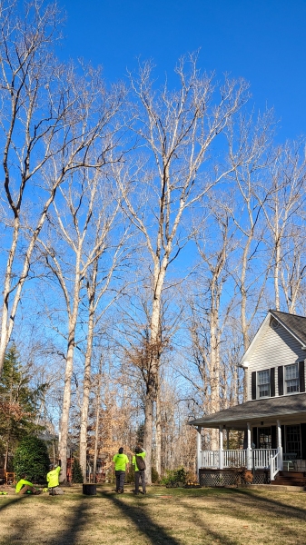
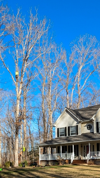
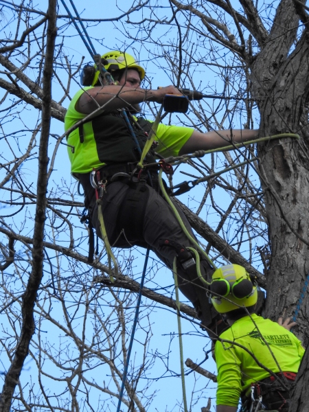
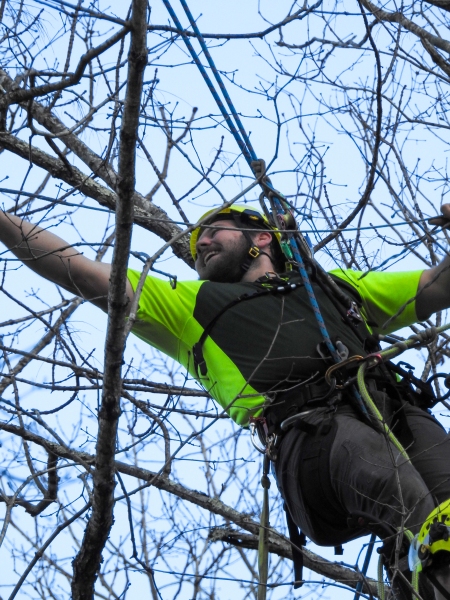
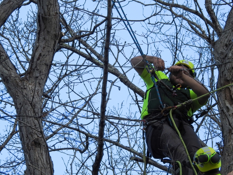
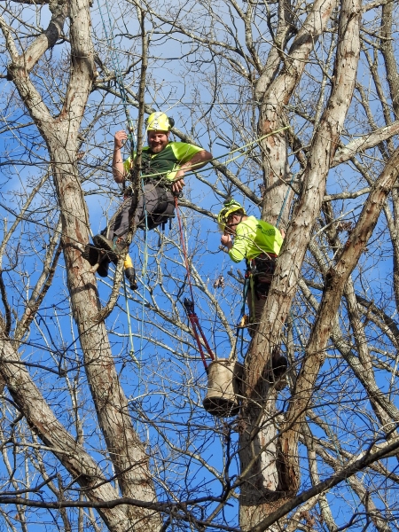
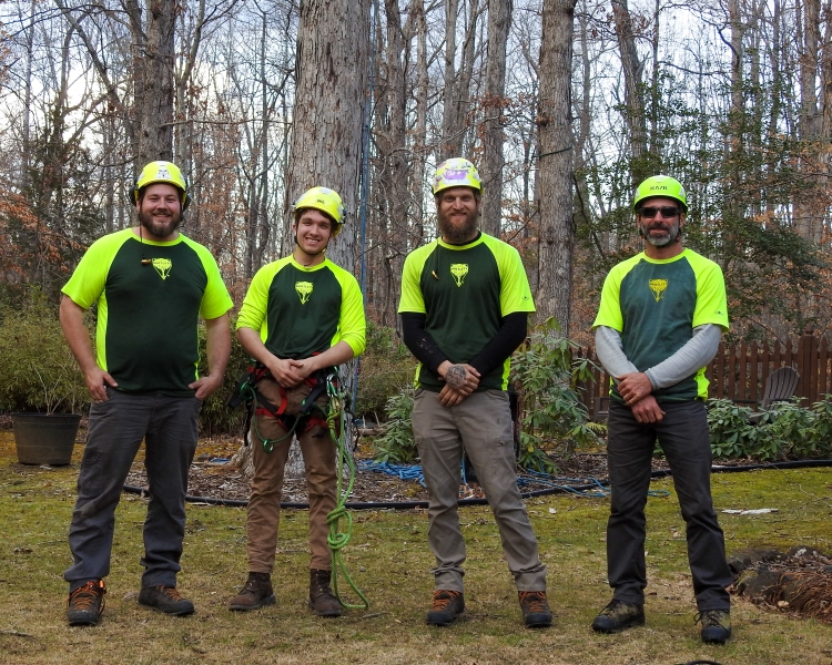
The 80-foot white oak near the northwest corner of the house has a fork we don’t want to split. The Bartlett Tree Experts installed a 7-foot quarter-inch steel cable intended to reduce the risk.
New Year’s Day
High times on front porch
Messiah

I enjoyed the great pleasure of singing with Fredericksburg Community Chorus’s two concerts Dec 3rd 2pm and 4th 7pm, with orchestra and eight soloists. The chorus did And the Glory, Purify, Oh Thou that Tellest, Unto Us, Glory to God, Lift Up, and Hallelujah followed immediately by the Great Amen. I had a good seat in the back row, next to David P the tallest bass.
Rahier’s Column Clock


From the Belmont newsletter at GariMelchers.org:
“After an absence of nine months, Gari and Corinne Melchers’ thirty hour long case clock work has returned from the clockmaker’s repair shop. Mr. Mark R. Pellman of Ashland, Virginia performed the repairs, aside from the micro-welding of the gears which had to be sent away. The beautifully incised pewter face was fashioned by a craftsman named Rahier from Eupen, Belgium, as inscribed. The face is not original to the works behind it, nor are either the face or works original to the long case. The case was probably made in the 19th century in Holland or Germany, while the works and face probably are one hundred years older.”
Turkey vulture
Election

Mid-term general election, 8 November 2022, the new Westlake Precinct in Stafford County: Edwin Ridout, Mike Straley, Perry Darley, Rebecca Straley, Bob Jankovits, John Summer, Jim Holt, Leslie Raterman, Heather Smithson, Gloria Chittum (Secretary, Electoral Board), Tricia Gardner-Gonzalez. Open 6am-7pm, 956 voters, just one race, 7th US Congressional District. Our precinct results: incumbent Abigail Spanberger (D) 259, Yeslie Vega (R) 692, write-ins 5. District-wide result (after 215 of 226 precincts reported): Spanberger 140,582; Vega 129,416; write-ins 641.
Fredericksburg
Belmont: docent duty
Berries at Willowmere


On dog walk around Willowmere Park Oct 27th 2022.
