Dad’s 101st

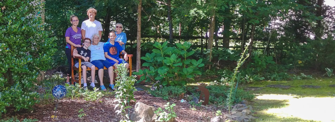
Nick’s pic of Dad on his 101st birthday.

More pics to come from Dad’s family birthday weekend. Meanwhile, following is a 1993 USGS satellite image including Dad’s 28 acres. I had been hoping to find the subsequent satellite image I remember clearly showing the X in the oats field (which here appears as a perfectly clear rectangle). The corn field and the punkin field also appear clear here. We never knew what to make of the strange spiral formation on the neighbor’s property to the right.

David & Wena Ridout’s Place, Export, Pennsylvania, USGS Satellite Photo 1993, as gratefully copied from http://terraserver.microsoft.com onto now defunct website users.aol.com/eridout on 16 July 1998.

Great Smoky Mountains

Nov 9th-11th at the Swag in western North Carolina, elevation 5,000 feet.

We started with lunch in their tree house.
A view from the porch near our room
Marty, Sandy, Jan, Edwin, on the guided nature hike
A dozen wild turkeys grazed on the lawn below the lodge but only two would stand still.
Our new Swag walking sticks
While I was out for a run, some hikers told me how to find Ferguson’s Cabin. Built 1874, it’s said to be the highest cabin in the Great Smoky Mountains National Park, at 4700 feet.  Fergusons lived and farmed here until 1902, growing potatoes, sliding them down the side of the mountain as there was no road. Cabin was reconstructed in 1974 from original timbers.
Our one full day had perfect weather . . .
. . . but next morning’s jog to the marker atop Hemphill Bald (5,540 feet) was wet, windy, and in the clouds.